FLAMEX SOP1 :
Prescribed burns Observations
27-30 April 2026
Andalousia- Sierra de los Filabres
This campaign is dedicated to testing measurement strategies, as well as obtaining first observations under controlled fire conditions. Two prescribed fire zones were chosen by EMA.
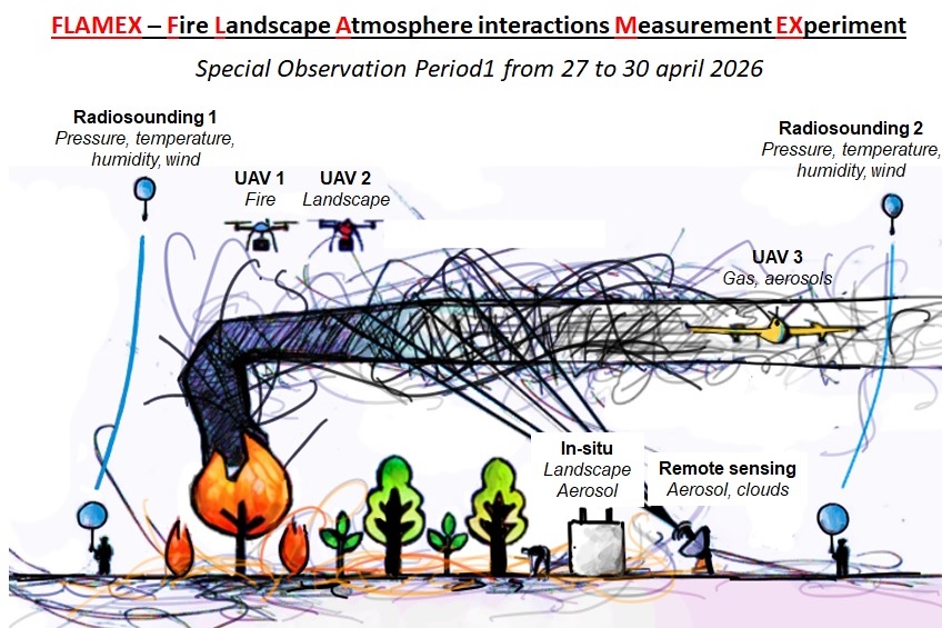
The campaign relies on a coordinated multi-platform measurement strategy, combining ground-based, airborne and remote sensing observations. The following key parameters will be measured:
- landscape characteristics (before and after fires)
- Fire behavior
- Gases and Aerosols (concentrations and absorption properties)
- Meteorological conditions
- Plume dynamics
Activities
Campaing LogBook
𝐅𝐋𝐀𝐌𝐄𝐗 𝐢𝐧 𝐧𝐮𝐦𝐛𝐞𝐫𝐬
– 5 operational sites
– 3 days of operations before, during and after the fire
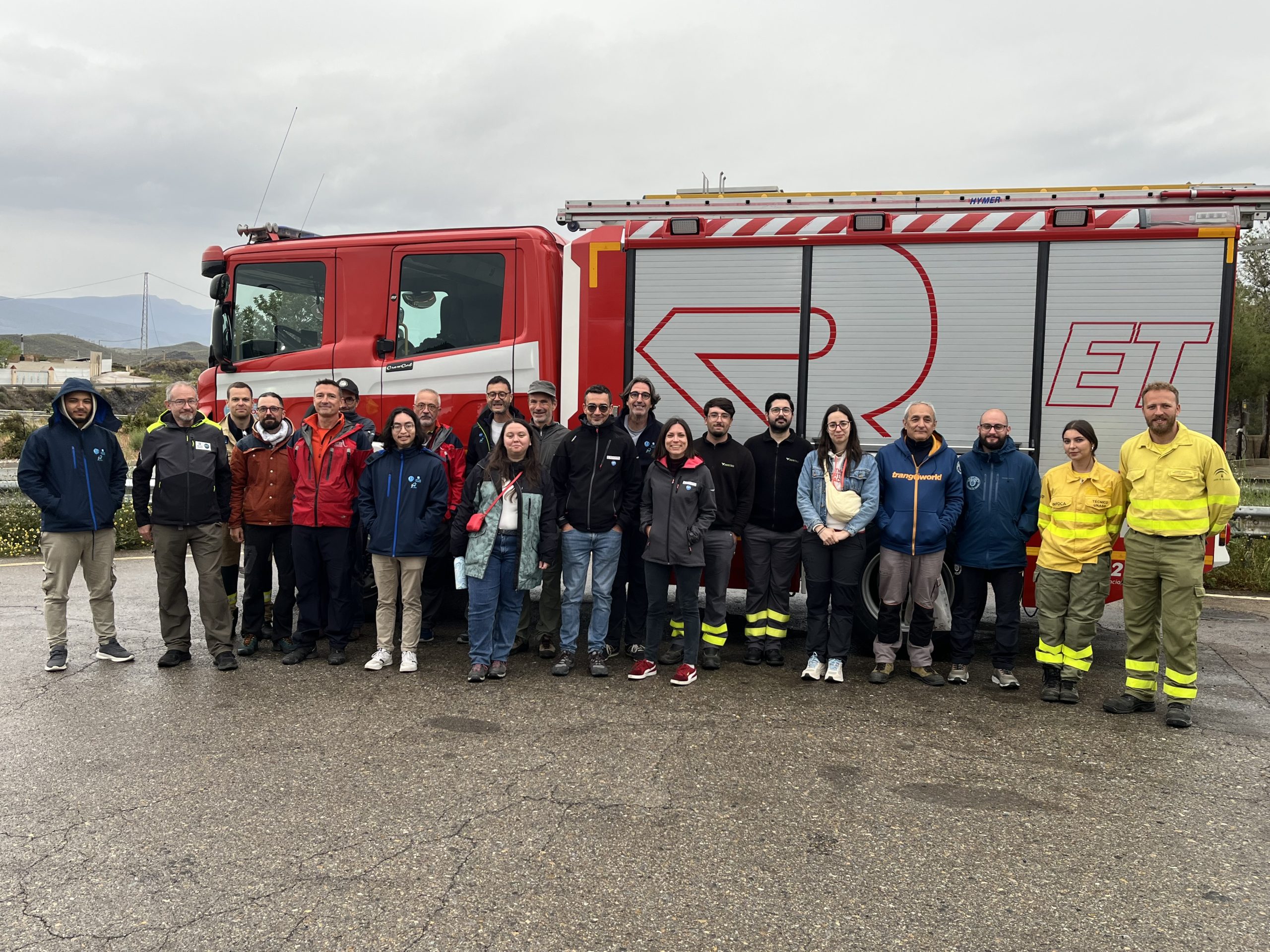
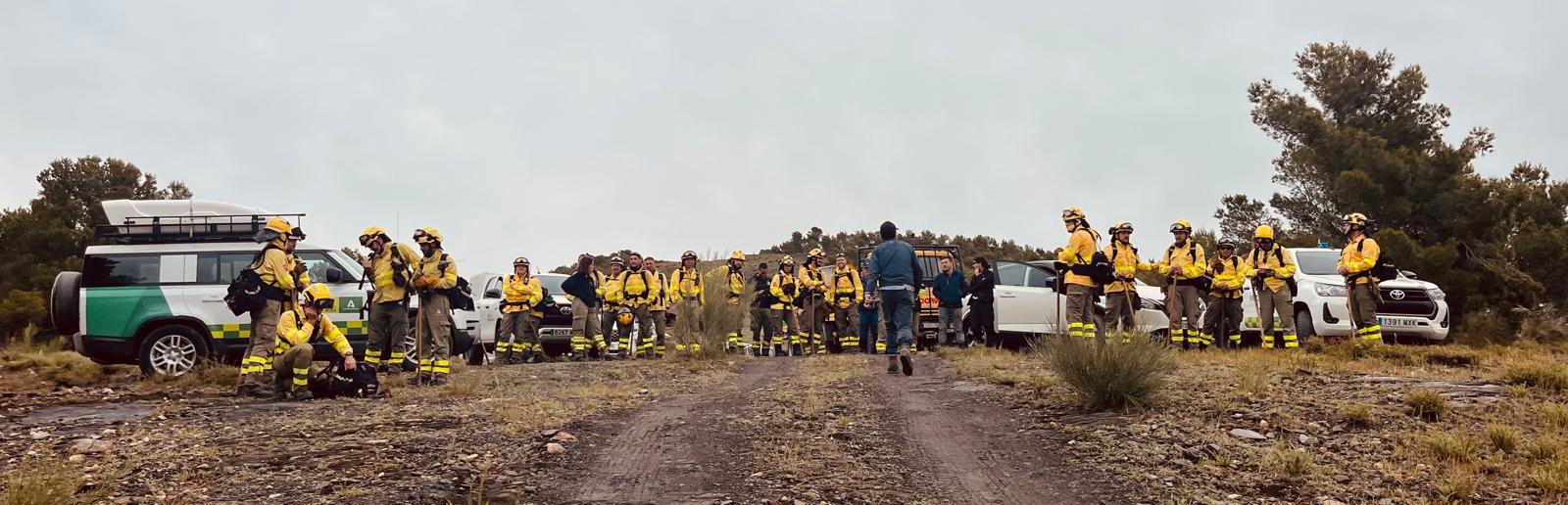
– 45 firefighters
– 26 scientists
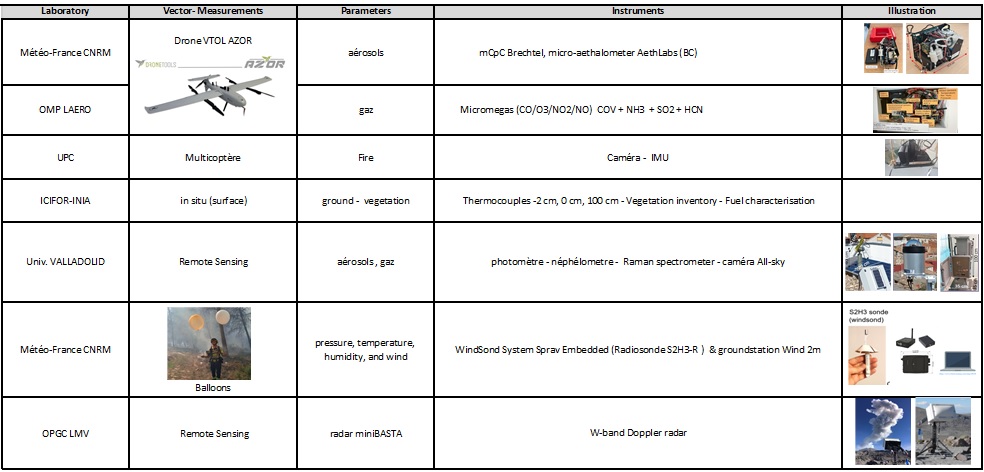
– 2 multicopter drones equipped with LiDAR and infrared, visible and multispectral cameras
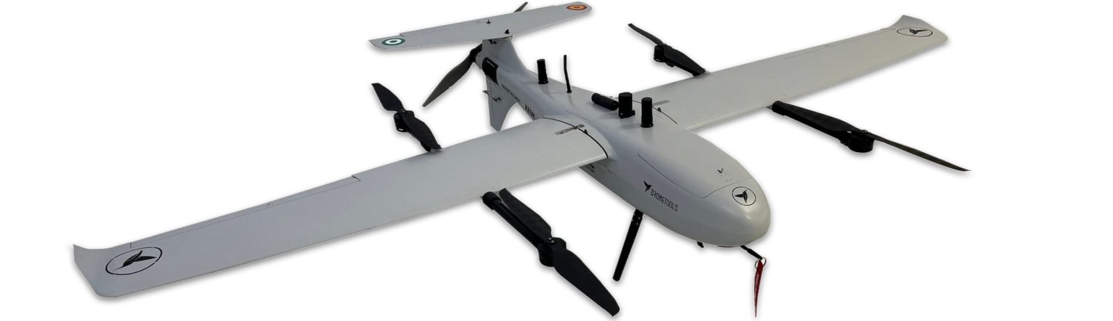
– 1 fixed-wing drone equipped with 2 in-situ playloads
– 30 thermocouples deployed within the plot
– 8 ground-based in situ and remote sensing instruments
– 15 radiosoundings launched
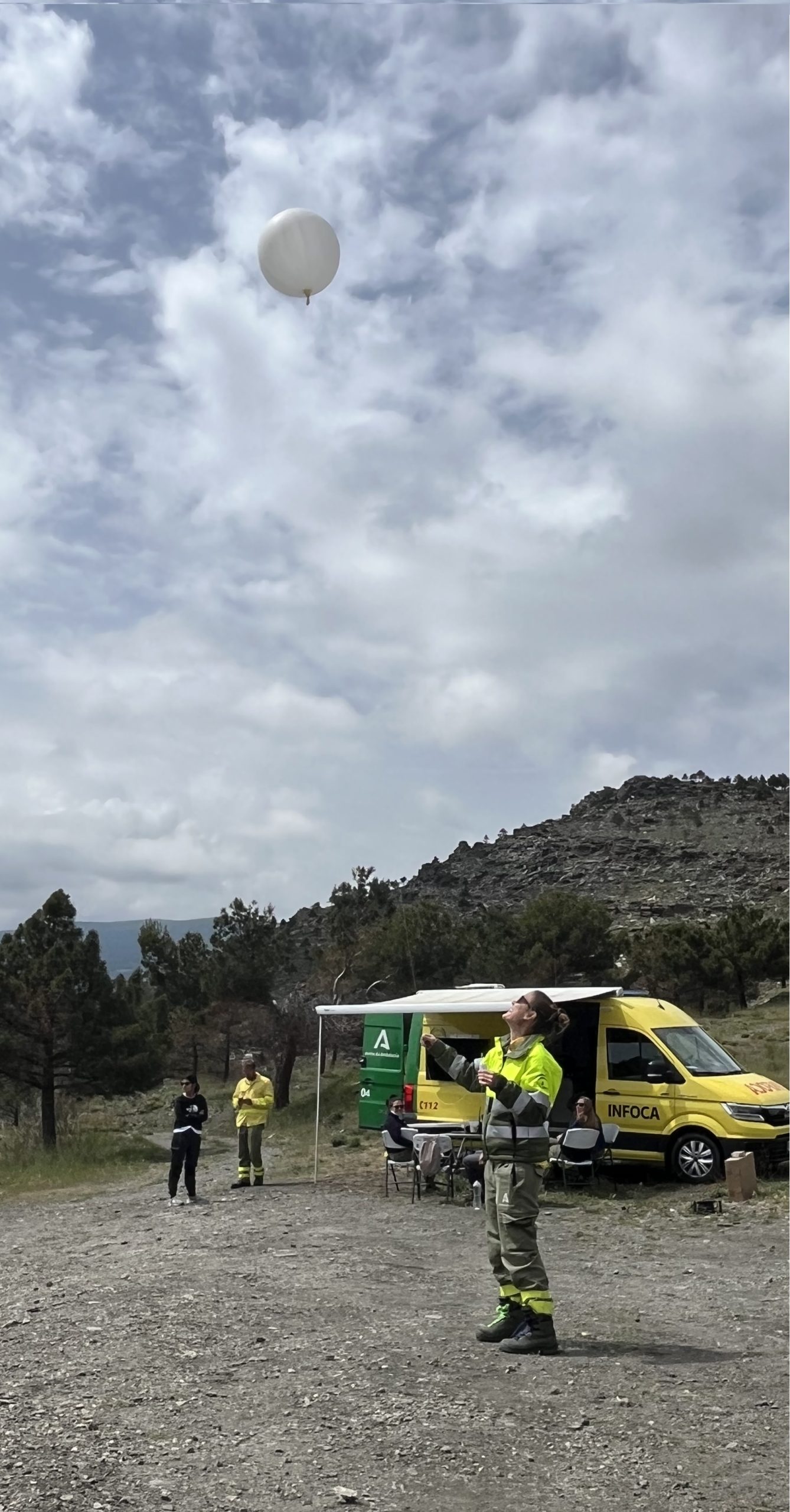
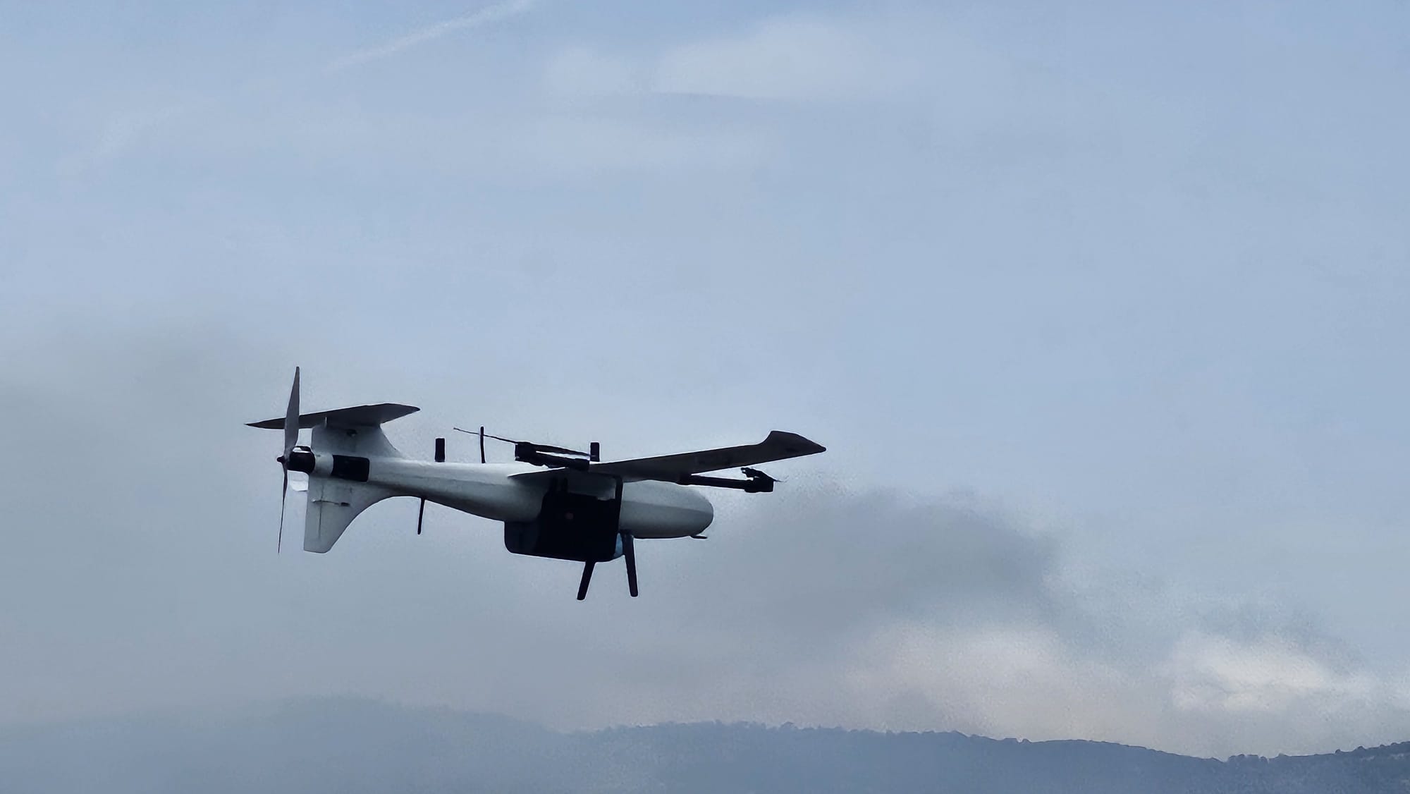
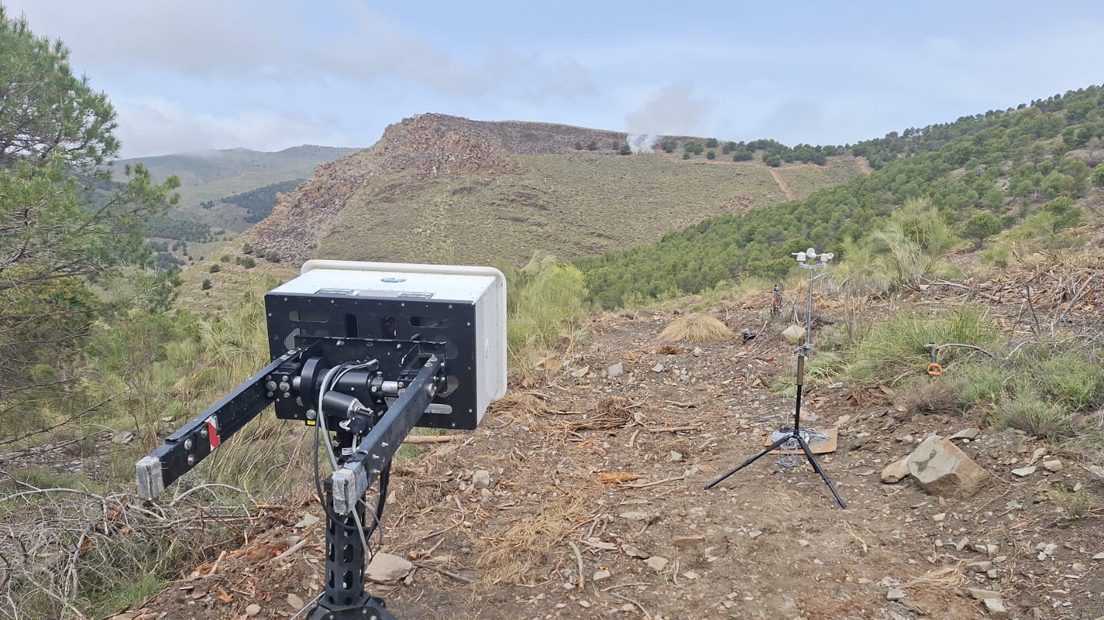
𝐅𝐢𝐞𝐥𝐝 𝐞𝐱𝐩𝐞𝐫𝐢𝐦𝐞𝐧𝐭𝐬 𝐫𝐚𝐫𝐞𝐥𝐲 𝐠𝐨 𝐞𝐱𝐚𝐜𝐭𝐥𝐲 𝐚𝐬 𝐩𝐥𝐚𝐧𝐧𝐞𝐝 : several operational challenges were encountered during deployment due to difficult environmental conditions, complex terrain and heavy rainfall. This required all participants to be highly flexible and self-controlled.
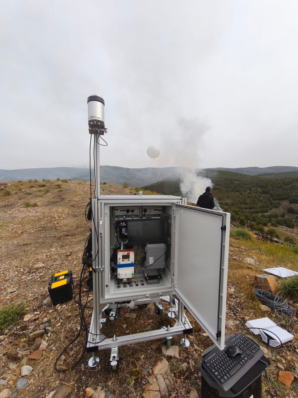
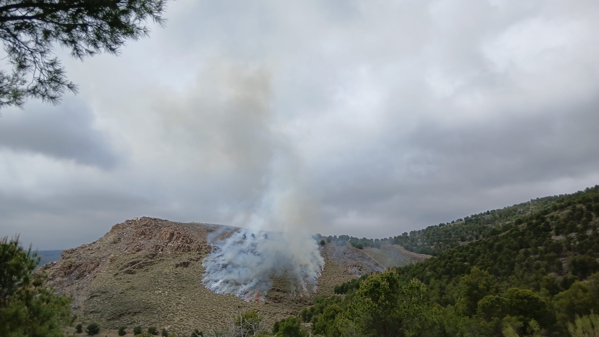
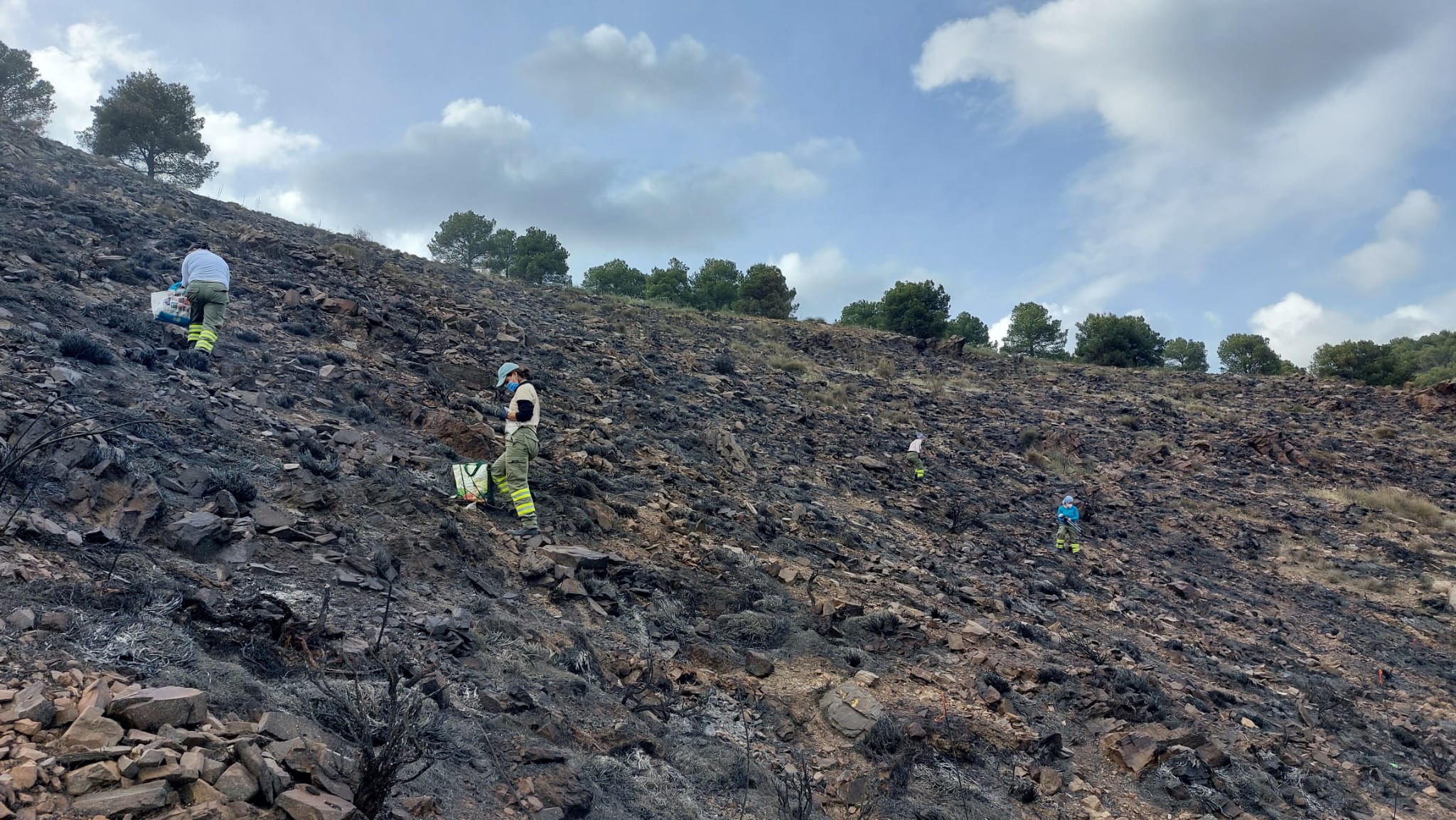
𝐓𝐡𝐞 𝐭𝐞𝐚𝐦 𝐞𝐱𝐜𝐞𝐞𝐝𝐞𝐝 𝐢𝐭𝐬 𝐢𝐧𝐢𝐭𝐢𝐚𝐥 𝐭𝐚𝐫𝐠𝐞𝐭 of initiating deep collaboration between research and operational firefighting service by deploying multiple ground-based and airborne platforms during complex operational fire conditions. A unique dataset has been acquired that includes information on vegetation types and conditions, fire behaviour, meteorological parameters and the emission of gases and aerosols. We have also begun training firefighters to use radiosoundings, which could help them to adapt their deployment strategy for firefighting resources during wildfires.