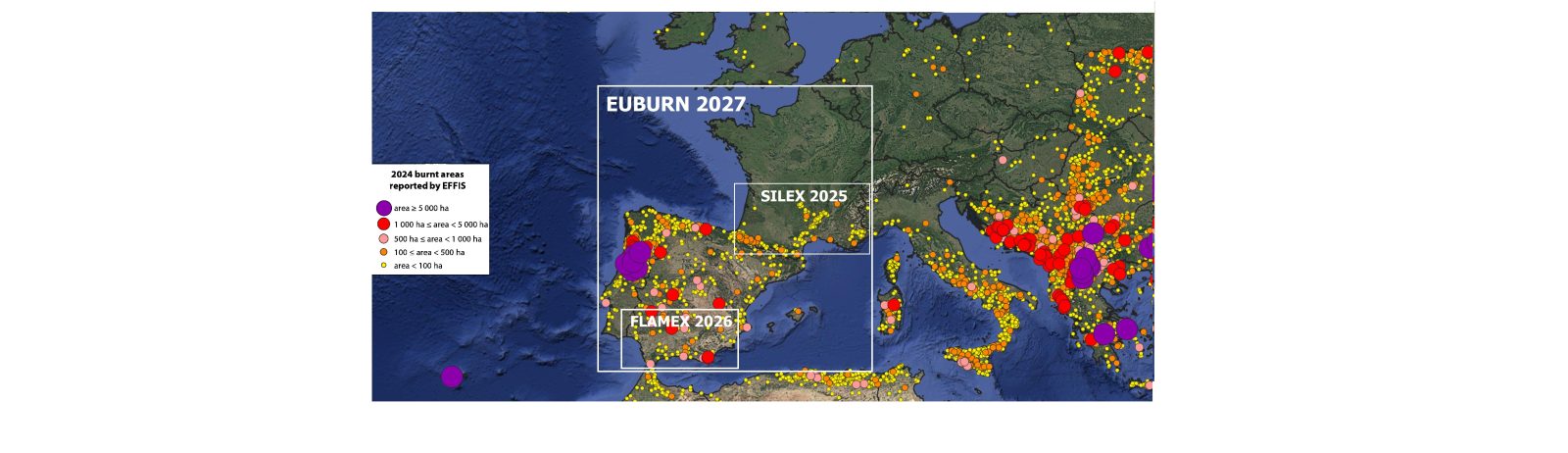
The large-scale field campaign scheduled for July and August 2027 in Portugal, Spain and France, is the flagship deployment of the European EUBURN program.
Its primary objective is to analyze extreme wildfires, smoke plumes, and their atmospheric impacts using advanced scientific instrumentation.
The core of the instrumentation system will be based in Portugal, with the air operations center.
Observation platform:
- Research Aircraft:
Stationed in Portugal carrying nearly two tons of specialized instrumentation.Their use in the fire environment and within the plume will make it possible to better characterize changes in atmospheric structure and identify the conditions associated with rapid shifts in fire behavior.
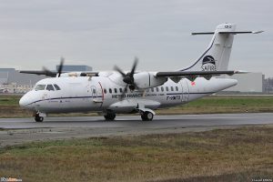
The Météo-France ATR 42 operated by the SAFIRE (the French facility for airborne research,) has been modified to accommodate a wide variety of instrumentation used for atmospheric and environmental research.
Instruments was tested during the SILEX measurement campaign in the summer of 2025.
Nearly two tons of scientific equipment (including MOCCA mass spectrometer) to analyze plume wilffire’s gases, aerosols,
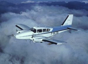
Piper-Aztec operated by SAFIRE is a low-winged unpressurized aircraft with call sign F-BLEB. . An IR camera coupled with an Inertial Measurement Unit (IMU) will be installed on SAFIRE’s Piper Aztek; this instrumentation will enable the validation of satellite-based fire activity products.A tool for monitoring fire spread based on satellite observations has been developed as part of the EUBURN program. We now require observational data to assess its limitations, biases and uncertainties in order to ensure its reliability for operational use.
- UAVs :
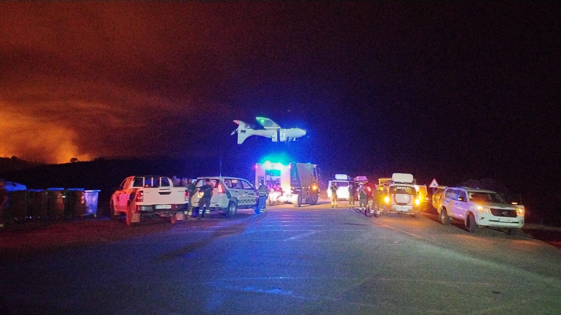
Miniaturized sensors will be deployed on drones to provide information on fire behaviour (location, spread, intensity), measurements of meteorological parameters (wind, humidity, temperature) and concentrations of atmospheric pollutants (gases,
aérosols) at a local level. (FLAMEX)
- Radiosounding:
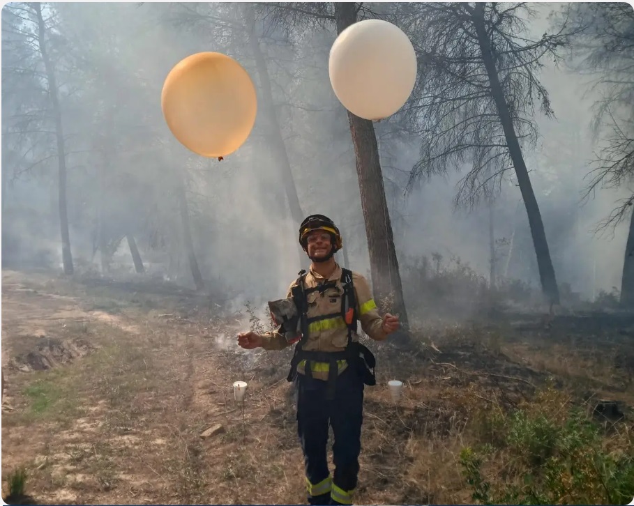
The use of radiosondes in the fire environment and within the plume will enable us to better characterise changes in atmospheric structure and to identify the conditions associated with rapid changes in fire behaviour.
Training firefighters to deploy and interpret radiosondes will pose another challenge, yet represent a major step forward for crisis management.The initial tests were conducted during the FLAMEX SOP1 campaign in Andalusia.
- Mobile Ground Platforms:
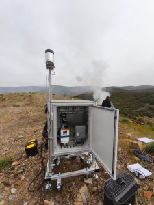
Multi-instrumented mobile ground-based platforms will be deployed to monitor and characterise the pollution plumes emitted by WildFires and transported into the atmosphere. They will be equipped with a wide range of remote-sensing instruments to characterise the temporal and spatial (4D) evolution of atmospheric pollutants at a regional scale.
- Satellites
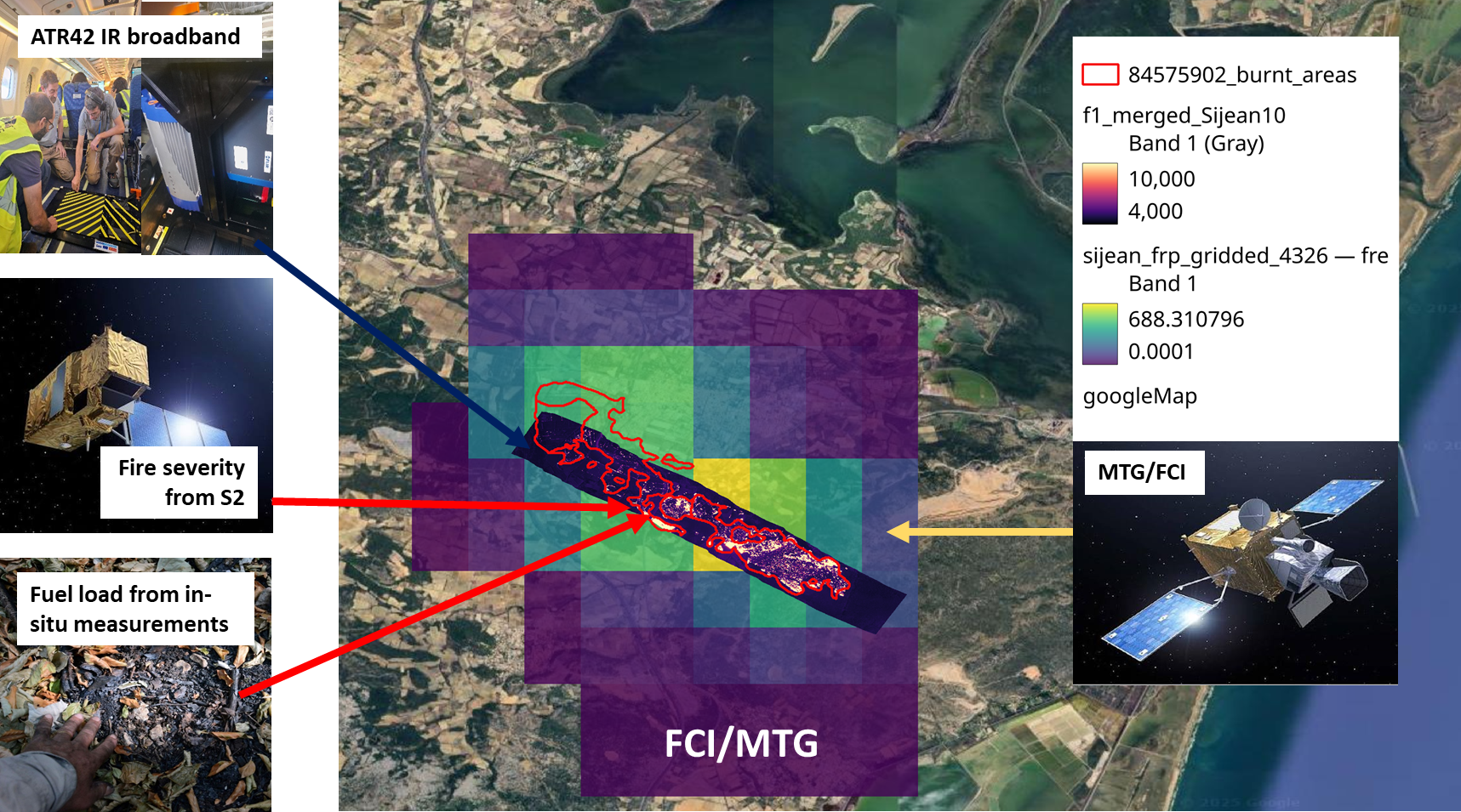
The deployment of the new generation of European weather satellites Meteosat Third Generation (MTG) and its Flexible Combined Imager (FCI) instrument, marks a major advancement in fire monitoring. With the first FCI instrument operating on the MTG-I1 satellite active since early 2025, observations are available every 10 minutes and a spatial resolution of 1 km at nadir and 1.5 km over France.This makes it possible to go beyond simply detecting hotspots and track the progress of the fire in near real time.
- Observational Networks:
Integrating intensive tracking data with existing permanent European atmospheric monitoring networks.
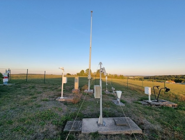
Météo-France, AEMET and IPMA ground stations.
More than 2,000 automatic ground stations (temperature, wind, humidity) within the operational network of state agencies spread across France, Spain and Portugal.
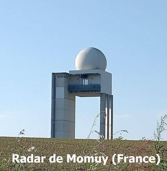
Precipitation radar:
Originally designed to observe precipitation, weather radars are also a promising tool for monitoring fire behaviour in real time . Their main advantage lies in their ability to characterise the dynamics of the interactions between fires and the atmosphere.With their high temporal resolution, they offer the promising prospect of observing the three-dimensional structure of aerosol plumes and pyroconvective clouds (pyrocumulus and pyrocumulonimbus), as well as the associated microphysical and thermodynamic processes
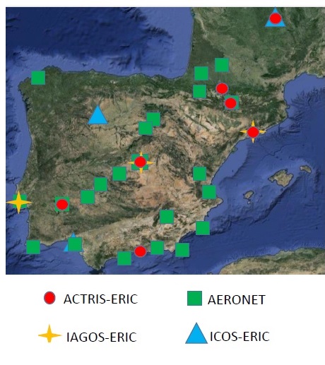
Research infrastuctures : long-term observation networks
- ACTRIS :The Aerosol, Clouds and Trace Gases, provides provides open-access, high-quality data from a vast network of ground stations and laboratories to monitor short-lived atmospheric components driving climate change and air quality.
- AERONET : Aerosol Robotic Network is a global network of ground-based sun photometers and photonics institutions that provides open-access, continuous measurements of aerosol optical properties to validate satellite data and advance atmospheric research
- ICOS : Integrated Carbon Observation System. European-wide greenhouse gas research infrastructure that produces standardised, high-precision data on greenhouse gas concentrations and carbon fluxes
- IAGOS :In-service Aircraft for a Global Observing System. IAGOS is a major European Research Infrastructure dedicated to monitoring global atmospheric composition and climate change. Its unique concept relies on equipping commercial passenger aircraft on long-haul routes with fully automated scientific instruments.